By Santa Cruz Profunda, from Puerto San Julián · Updated 2026-10-15
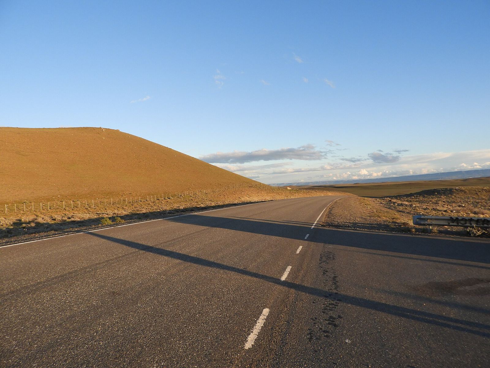
National Route 40 crosses Santa Cruz from south to north, from Cabo Vírgenes (near Río Gallegos) to the Chubut border, passing El Calafate, Tres Lagos, Gobernador Gregores, Bajo Caracoles and Perito Moreno. It's one of the most beautiful roads in the country and also one of the loneliest. This guide gathers the practical side: fuel, gravel and distances.
Where to find fuel
Turismo Ruta 40 lists these towns with a service station on or near Route 40 in Santa Cruz, from south to north:
- Río Gallegos
- 28 de Noviembre and Río Turbio (coal basin)
- Tapi Aike
- La Esperanza
- El Calafate (detour) and El Chaltén (detour)
- Tres Lagos
- Gobernador Gregores
- Bajo Caracoles
- Perito Moreno
- Off Route 40: Lago Posadas and Los Antiguos
The same guide warns that a station can run out of fuel until the tanker truck arrives. The rule: fill up every time you can, without waiting for the low-fuel light.
The loneliest stretch: Tres Lagos – Perito Moreno
According to Turismo Ruta 40, this stretch is 519 km long, with only one town in between (Gobernador Gregores) and one hamlet with minimal services (Bajo Caracoles). Key facts:
- Tres Lagos → Gobernador Gregores: 173 km. It includes the last major gravel section of the route in the province, about 72 km to Cruce Cardiel; the rest is paved.
- Cruce Cardiel → Gobernador Gregores: 62 km.
- Gobernador Gregores → Bajo Caracoles: more than 200 km of steppe with no towns in between.
- Bajo Caracoles → Perito Moreno: about 130 km, paved.
The guide's official advice is to fill up in Tres Lagos, again in Gobernador Gregores and once more in Bajo Caracoles. Paving work is progressing, so the gravel situation may have changed; check before you travel at Prensa Santa Cruz – Estado de rutas (Vialidad).
Common gravel detours
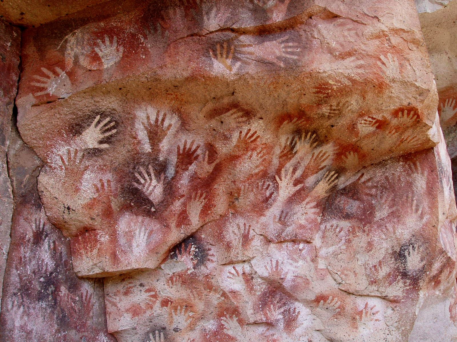
- RP 97 to the Cueva de las Manos: 47 km from Bajo Caracoles (see How to get to the Cueva de las Manos).
- Bajo Caracoles → Lago Posadas: 75 km of gravel, according to the province.
- RP 41 Los Antiguos → Lago Posadas: 155 km of mountain gravel, with no services (see Route 41).
Wind, weather and safety
- Westerly winds average about 50 km/h according to Turismo Ruta 40, with much stronger gusts. Keep both hands on the wheel and slow down when passing trucks.
- In winter there can be ice and snow, especially near the Andes.
- Carry water, food, warm clothes, a blanket and a paper map: there are long stretches without cell signal.
- Watch out for guanacos and rheas on the road, especially at dawn and dusk.
- Check your tire pressure and carry a spare in good condition.
What to carry in the car
- An approved fuel can if your car has limited range (and know your real range with a headwind, which can be considerably lower).
- An inflated spare tire, jack, wheel wrench and, if you can, a puncture repair kit.
- A flashlight, a car charger and the route downloaded to your phone for use without signal.
- Water and food for a day; in winter, extra clothes, a blanket and chains if you're heading towards the Andes.
- A windshield protector or, at the very least, distance: gravel kicks up stones.
Driving on gravel
Slow down, avoid braking hard and don't make sudden maneuvers: on loose gravel the car slides more than you'd expect. Keep your distance from the vehicle ahead because of stones and dust. If a vehicle comes the other way, move over to the right and ease off. In rain or snow the gravel can turn to mud; if in doubt, wait or check with Vialidad.
How much time to allow
To drive northern Route 40 without rushing, from El Calafate to Los Antiguos, we suggest at least 3 or 4 days, with stops in Tres Lagos or Gobernador Gregores, the Cueva de las Manos and Perito Moreno. This is our own suggestion.
Before you set off
Check road conditions with Vialidad Provincial and fuel prices on the official Energy Secretariat website. If you're unsure along the way, ask at the service station about the next open fuel pump.
Frequently asked questions
Where can I get fuel between El Calafate and Perito Moreno?
In Tres Lagos, Gobernador Gregores and Bajo Caracoles. Turismo Ruta 40 recommends filling up at all three.
Is there still gravel on Route 40 in Santa Cruz?
According to Turismo Ruta 40, a gravel section of about 72 km remains between Tres Lagos and Cruce Cardiel. Since there are roadworks, check current conditions with Vialidad Provincial.
What's the longest stretch without services?
Between Gobernador Gregores and Bajo Caracoles there are more than 200 km of steppe without towns.
Do I need a 4x4 for Route 40?
Not for the main road. For gravel detours like RP 97 or RP 41, a high-clearance car helps.