Río Gallegos is the capital of Santa Cruz and, according to the province, the southernmost city on the mainland. Its waterfront, more than 1,000 m long, faces the Río Gallegos estuary, where the Atlantic flows in with very large tides and hundreds of migratory birds from the Arctic come to feed.
Things to do in the city
- The waterfront (“la ría”) and the Río Gallegos Estuary Interpretation Center (CIERG).
- Museums: Museo de Guerra Malvinas Argentinas (Falklands/Malvinas War Museum), Museo de Arte Eduardo Minnicelli, the Southern Patagonia Maritime and Naval Museum, Museo de los Pioneros (former Casa Parisi), the “Roberto Galián” Railway Museum, among others.
- Historic houses: María Auxiliadora, Juan Manuel Gregores and Fundacruz (former Barraca Amberense).
Around the city
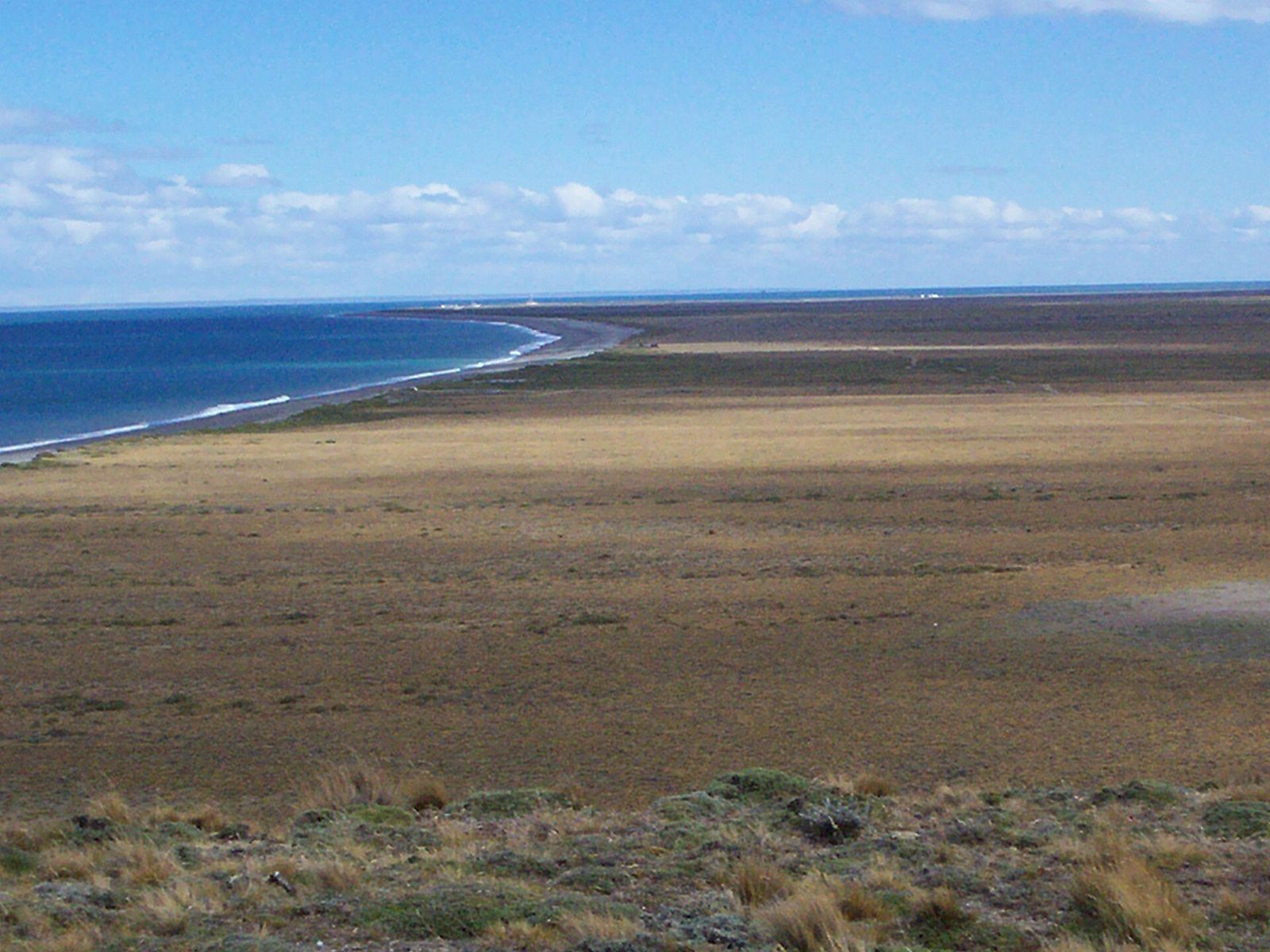
- Cabo Vírgenes and km 0 of Route 40, in the Cabo Vírgenes Provincial Reserve.
- Laguna Azul.
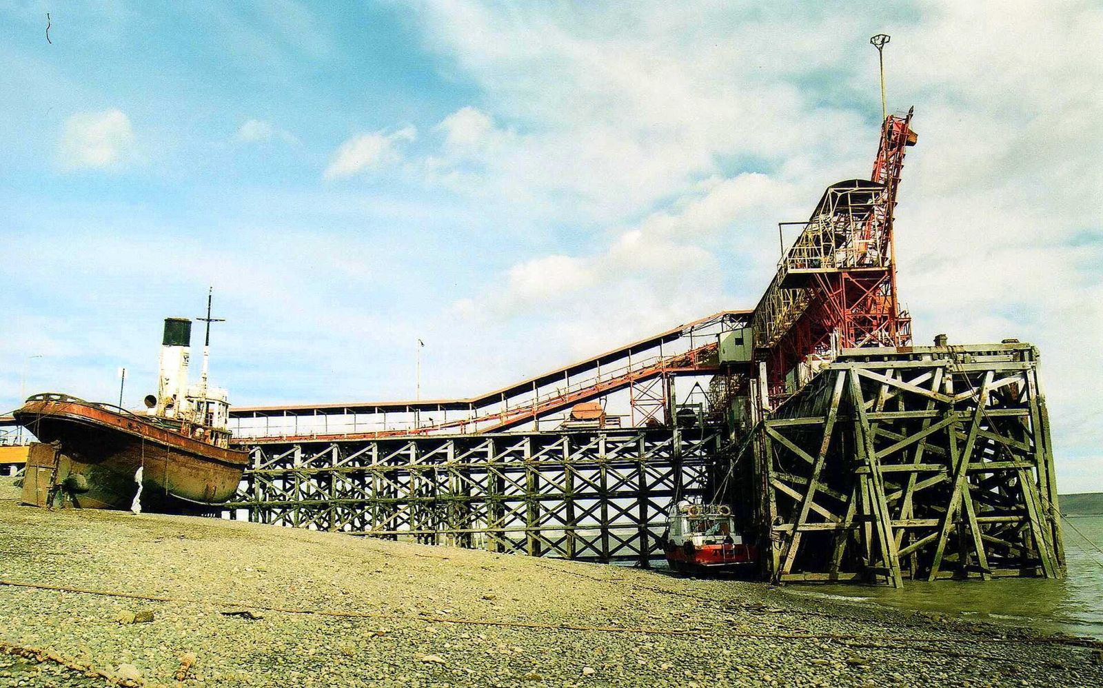
- Punta Loyola and the hull of the Marjory Glen.
- Sheep estancias offering lodging and home-cooked meals.
Distances, opening hours and road conditions to these sites: check before you travel at Turismo Santa Cruz – Río Gallegos.
Getting there
The easiest way is to fly into Piloto Civil Norberto Fernández International Airport; by land, via RN 3. From here: Monte León is 200 km away and Río Turbio 220 km. Tourism office: Av. Banciella and Lisandro de la Torre.