By Santa Cruz Profunda, from Puerto San Julián · Updated 2026-10-15
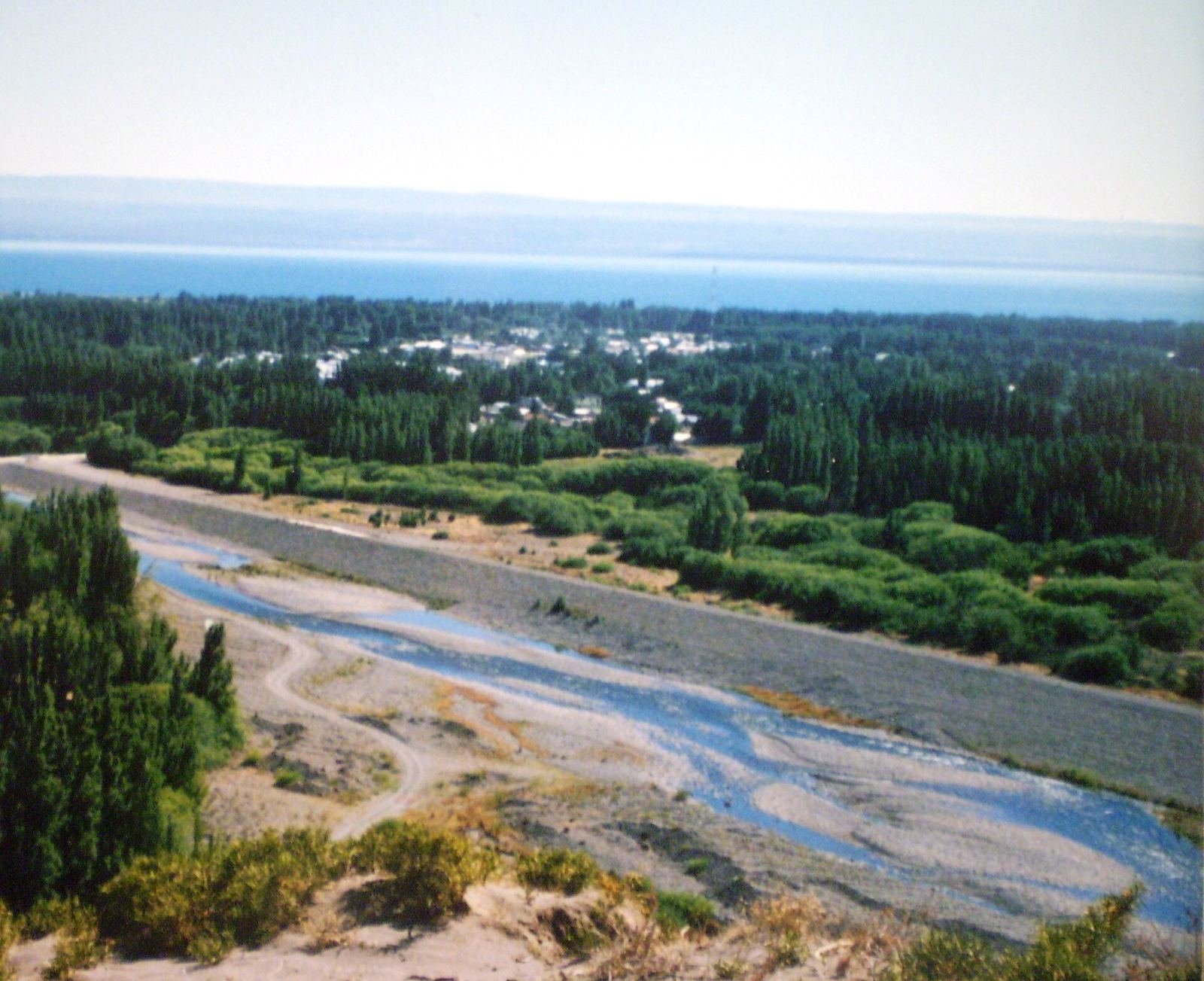
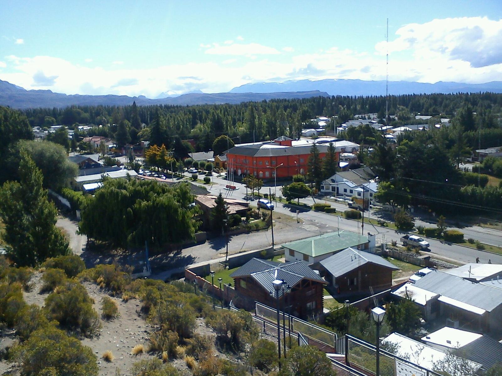
Los Antiguos is a town in northwestern Santa Cruz, on the southern shore of Lake Buenos Aires and a few kilometers from the Chilean border. It's the National Cherry Capital and one of the few places in the Santa Cruz steppe where the landscape turns green: orchards, poplars and fruit trees at the foot of the Andes.
It combines the quiet life of a farming town with a strategic location: Route 41, trips to the Cueva de las Manos and the crossing to Chile Chico all start here. In this guide we cover what to do in Los Antiguos, how to get there, when to go and what to keep in mind before hitting the road. The general overview is at Los Antiguos.
How to get to Los Antiguos
The main access is Provincial Route 43, which connects Los Antiguos with Perito Moreno (on National Route 40) and with the Atlantic coast. The road is paved and signposted.
| From | Approximate distance |
|---|---|
| Perito Moreno | 58–62 km |
| Caleta Olivia | 354 km |
| El Calafate | 875 km |
| Río Gallegos | 1,050 km |
| Chile Chico (Chile) | about 7 km |
By car
If you're coming from the north on Route 40, take Route 43 west at Perito Moreno. If you're coming from the coast, the same Route 43 brings you from Caleta Olivia and Comodoro Rivadavia. In northwestern Santa Cruz the distances between towns are long, so it's best to set off with a full tank.
By bus
Several long-distance bus companies serve the town, including Taqsa, Sportman, La Unión and Chaltén Travel. Schedules and frequencies change with the season: check with each company.
By air
According to the province, the reference airport is Comodoro Rivadavia, from where you continue overland on Route 43.
Things to do in Los Antiguos
Stroll the Lake Buenos Aires waterfront
The waterfront is the heart of the town. You can walk, cycle and watch the sunrise or sunset over the lake. For something more active, the lake is used for kayaking, windsurfing and kitesurfing. The Patagonian wind can be strong, so check conditions before getting in the water.
Visit the cherry farms
Los Antiguos has more than 20 tourist farms that welcome visitors. Besides cherries, they sell regional products such as preserves, craft beer, chocolates and pickled delicacies (escabeches). It's the best way to understand why the town is the National Cherry Capital: the lake's microclimate allows fruit growing you won't see anywhere else in the steppe.
A practical tip: ask at each farm about visiting hours and whether they offer tastings or direct sales, since these change with the season.
Drive Route 41
Route 41 links Los Antiguos with Lago Posadas over about 155 km of gravel, according to the province. It crosses foothills, mountains, lagoons and streams, and is one of the most photogenic roads in Santa Cruz. It's not a road to rush: allow a full day, carry spare fuel and check before you travel at Prensa Santa Cruz – Estado de rutas (Vialidad).
Go up Monte Zeballos
Monte Zeballos, on Route 41, is one of the classic excursions from town. It combines mountain scenery with views of the lake and the steppe.
Visit the Cueva de las Manos
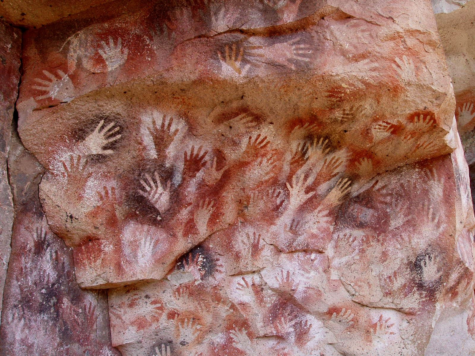
The Cueva de las Manos is one of the most important rock-art sites in South America and a UNESCO World Heritage Site. From Los Antiguos you can visit it on a day trip via Perito Moreno. Visits are guided; for opening hours and fees, check before you travel at Cueva de las Manos (sitio oficial). See also how to get to the Cueva de las Manos.
Cross to Chile Chico
Chile Chico is just a few kilometers away, across the border. From there you can continue to the Marble Caves (Capillas de Mármol), one of the best-known sights on the Chilean side. To cross you need valid personal ID and, if you're driving, the vehicle's papers in order. Opening hours and requirements: Jeinimeni Pass.
When to go to Los Antiguos
- Summer: the busiest season, with long days, farms open and more tourist services.
- National Cherry Festival: the biggest event of the year, held in January; for the next edition, check before you travel at La Vanguardia Noticias – Fiesta Nacional de la Cereza 2026.
- Autumn: according to the province, the colors of the poplar groves are spectacular.
- Winter: the town is much quieter, but some mountain roads and border passes may close.
How many days to stay
Two or three days are enough to explore the town, the waterfront and the farms. If you want to add Route 41 and the Cueva de las Manos, add a day for each. If you also plan to cross into Chile, Los Antiguos works well as a base for the round trip.
Travel tips
- Fuel: fill up whenever you can. Northwestern Santa Cruz has long stretches without service stations.
- Clothing: even when summer is warm, wind and cold nights are common. Bring warm layers and a windbreaker.
- Cell signal: there may be no coverage outside town. Download offline maps before setting off.
Frequently asked questions
Where is Los Antiguos?
In the northwest of the province of Santa Cruz, on the southern shore of Lake Buenos Aires, about 60 km from Perito Moreno and a few kilometers from the Chilean border.
Can you cross into Chile from Los Antiguos?
Yes, via the Jeinimeni Pass to Chile Chico. Check the pass's opening hours and bring all your documents before setting off.
Is the road to Los Antiguos paved?
Yes, Provincial Route 43 from Perito Moreno is paved. Route 41 towards Lago Posadas is gravel, and it's best to check its condition before driving it.
Why is Los Antiguos the National Cherry Capital?
Because of its fruit production, made possible by the microclimate Lake Buenos Aires creates in the middle of the Patagonian steppe.